
Key Highlights
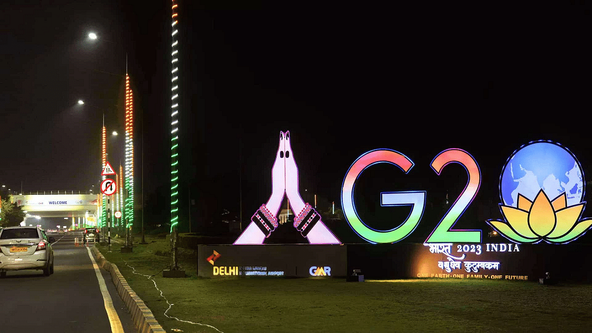
- Today marked the opening of the G20 Summit, which will go till September 10.
- As a result of the worldwide event, many locations in Delhi are closed.
- This interactive map should make it easier for you to navigate the city.
The G20 Summit, scheduled for September 8 to 10 in New Delhi, has drawn global attention to the Indian capital. However, it has presented significant challenges for Delhi’s residents, including traffic disruptions and movement restrictions due to heightened security. Also Read | Never Get Lost Again: Four Best Navigation Apps For Travelers
Navigating Delhi’s Summit Chaos With MapMyIndia
To aid commuters in navigating the city smoothly during this event, the Delhi Police has recommended the use of Mappl’s MapMyIndia app, a satellite-based navigation tool offering real-time traffic updates and road closure information.
MapMyIndia’s G20 Summit Features
Mappl, an India-based company known for its comprehensive navigation services and maps, has introduced special features tailored for the G20 Summit. These features include real-time tracking of road closures and turn restrictions, achieved through collaboration with the Delhi Police and data integration into the app.
Real-time Updates And Alternative Routes
Within the app, users can easily identify affected roads marked in red on the map and receive alternative route suggestions to navigate around disruptions. Additionally, the map highlights officially designated Regulated and Controlled Zones to help users plan their routes accordingly.
Also Read | Google Maps Immersive View For Routes Shows Live Route Traffic, Weather, And More: How To Use?
Accessible And Versatile App
MapMyIndia app is readily available for download on the Google Play Store and Apple App Store. Beyond G20-specific features, the app offers satellite, terrain, and 360-degree views, along with a default map view. Users can utilize the app to search for locations, obtain directions, share their whereabouts, and report issues.
Mappl CEO’s Perspective
Rohan Verma, CEO of Mappl, emphasized, “Residents and visitors can use the Mappls app to navigate smoothly and accurately in Delhi during the summit, through our partnership and coordination with Delhi Police wherein Mappls app is ingesting the traffic advisories and suggesting routes which follow the traffic restrictions.”
A Boost For ‘Made in India’ Products
This endorsement for MapMyIndia aligns with the government’s growing emphasis on ‘Made in India’ products. The G20 Summit is poised to host leaders from 19 countries, the European Union, and representatives from esteemed international organizations such as the United Nations, the World Bank, and the International Monetary Fund.
Also Read | Want To Report Accidents And Road Closures On Google Maps? Learn How To Do It